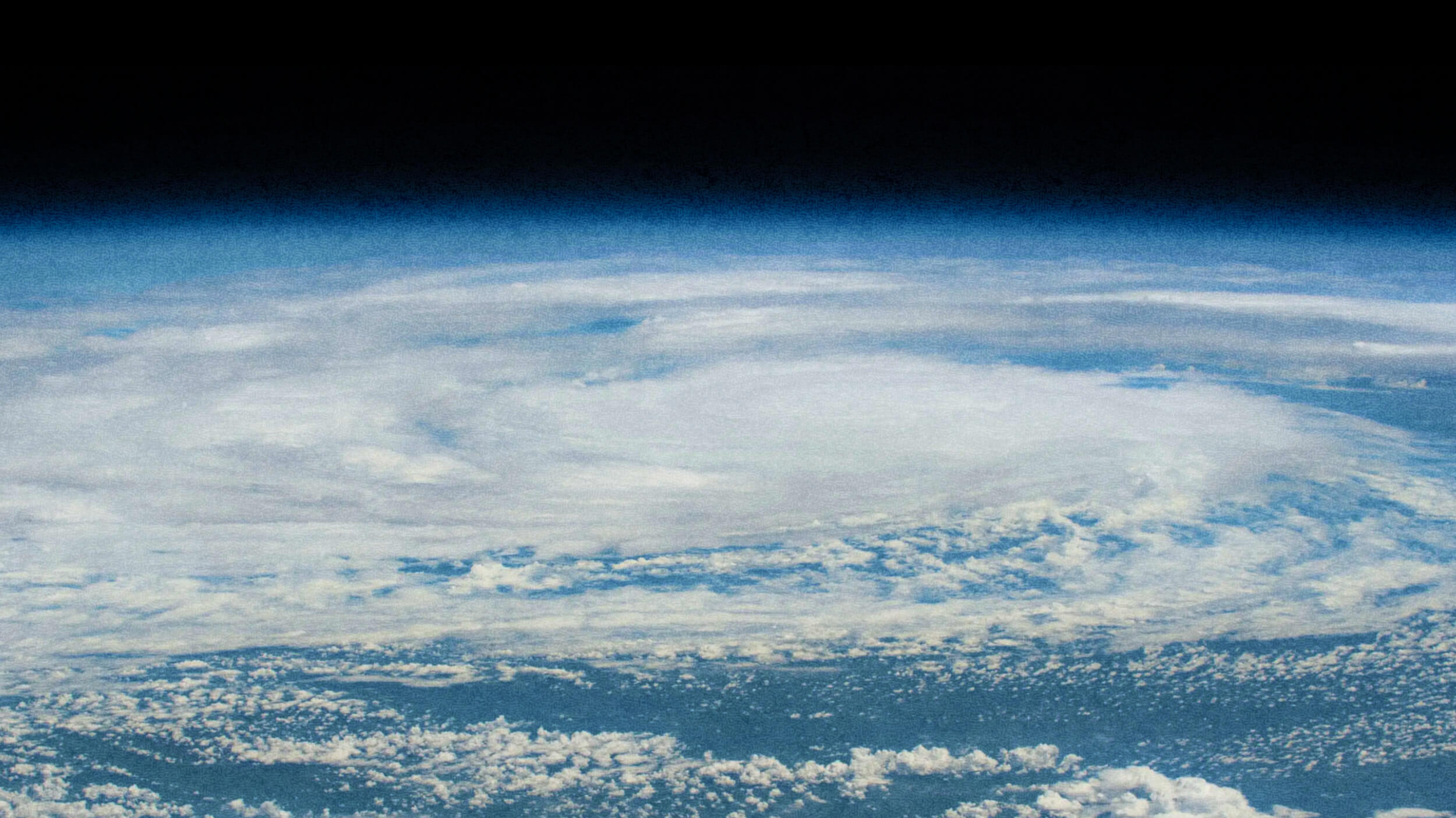
Google and National Geographic plan to construct a dynamic, four-dimensional digital Earth to help us more viscerally get acquainted with the planet’s many corners, all the while highlighting those areas most in need of protection. Indeed, the ultimate purpose of the digital Earth is to enlist individuals and governments to support the recently proposed campaign to protect 30 percent of the earth’s land and oceans by 2030.
With widespread support among experts and scientists, the proposal, which was co-written by National Geographic’s chief scientist, Jonathan Baillie, seeks to preserve those habitats upon which the planet’s lifeforms depend — including us — and it may well represent our own best chance for survival. This said, with NatGeo’s storytelling skills and Google’s powerful technologies, the two organizations envision the digital Earth’s near-real-time view of the planet as delivering both widespread inspiration and detailed guidance for leaders, helping them make better-informed decisions as they confront climate change.
This living rendition of the globe will allow users to monitor the world’s species and ecosystems over time, understand threats to the natural world and realize solutions to help achieve a planet in balance. — From partnership press release
At the Geo for Good summit in early October 2018, NatGeo and Google unveiled the first two products of their partnership, both viewable using their Google Earth technology. They’re both fascinating, if only baby steps, toward the full-on model they envision.